Welcome to Glendive, Montana
Using 5 Themes of Geography
Location - Where is it?
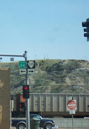
Highway signs
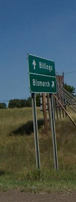
City directions
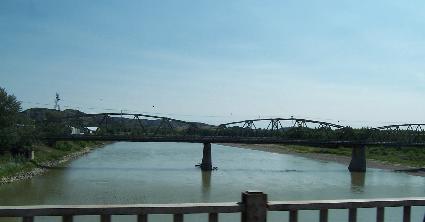
Yellowstone River
Place - What's it like there?
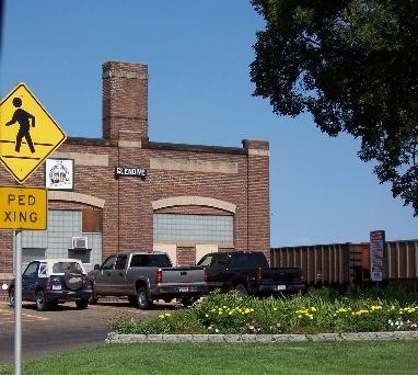
Railroad Office
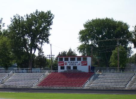
field at the high school
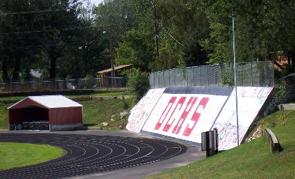
Dawson County High School

Dairy Queen
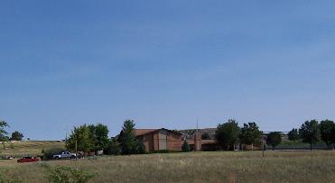
LDS Church
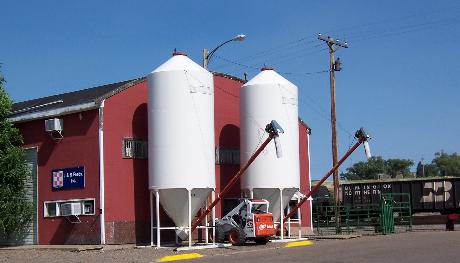
Feedstore
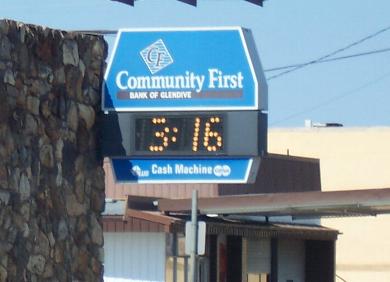
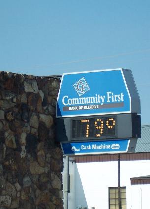
Time and Temperature on August 13, 2005
Human-Environment Interaction - How has the environment changed the people and/or the people changed the environment?
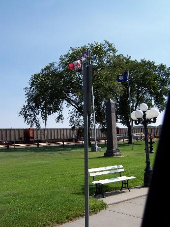
Montana, U.S. and Canadian Flags fly over the Veterans' Memorial
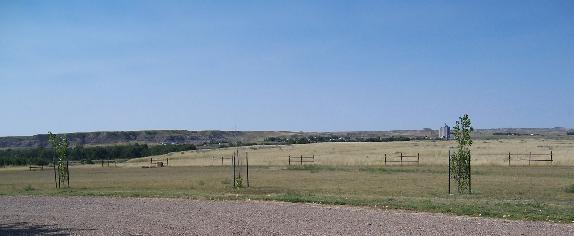
Trees planted in the campground, with a power station in the distance.
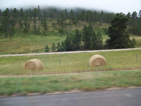
Wheat fields abound, and hayfields. They usually roll the hay, instead of baling it, as is common in Arizona.
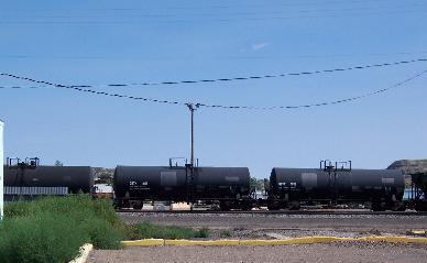
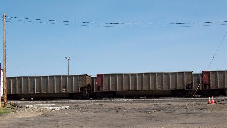
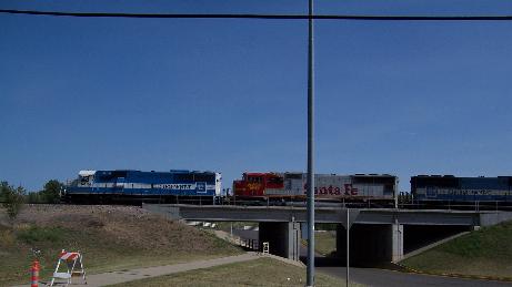
Movement - How do goods and ideas move to and from there?
Region
The Yellowstone River flows north to meet the Missouri about 60 miles from here, just over the line in North Dakota.
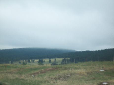
Foggy summer morning.